

In recent years, there has been a significant advancement in the field of Artificial Intelligence (AI) and Augmented Reality (AR). These technologies have become increasingly popular and have the potential to enhance virtual experiences in various fields such as gaming, education, healthcare, and...
A digital surveyor measures terrain relief from drone footage
98
21.07.2026
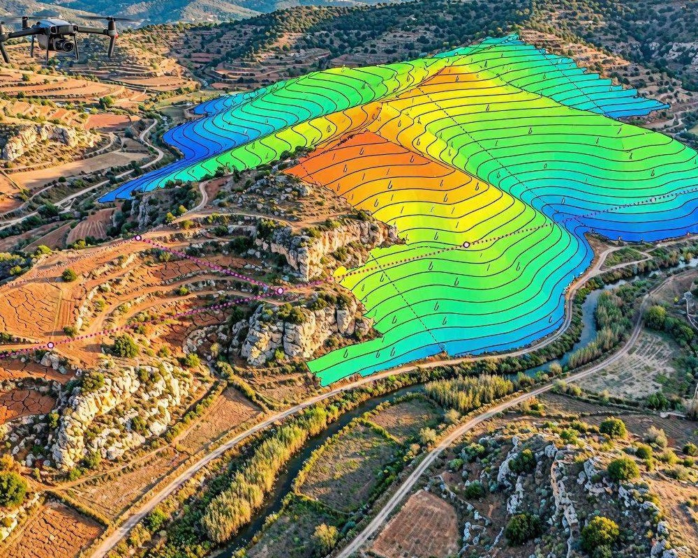
Modern digital surveying increasingly relies on drone footage to measure terrain relief—capturing how the ground surface rises, falls, and changes. Instead of only walking the site or setting out expensive ground control points, surveyors now combine aerial imagery, photogrammetry, and geospatial processing to produce an accurate elevation model suitable for engineering, earthworks, and environmental studies.
From flights to elevation data: the workflow
Measuring terrain relief is not a single step; it’s a pipeline that transforms overlapping drone images into a georeferenced 3D representation. The goal is to move from raw pixels to dependable heights, slope information, and derived surfaces.
1) Planning the drone capture
A digital surveyor starts before the drone ever takes off. A strong plan reduces uncertainty later in processing. Key factors include flight altitude, camera settings, overlap, and the need for consistent lighting. Typical practice uses substantial front and side overlap so the software can reliably match features across frames. For complex terrain or vegetation, the surveyor may adjust altitude and route pattern to maintain image clarity and coverage.
2) Ground control and georeferencing
Even with high-quality GPS in the aircraft, true surveying accuracy depends on ground control. Surveyors place identifiable targets across the area and measure their coordinates precisely using GNSS or total stations. Those control points anchor the photogrammetric model to a real-world coordinate system, enabling trustworthy relief measurements and cross-project consistency.
3) Photogrammetry and 3D reconstruction
After collection, the workflow continues in specialized processing software. The system performs image alignment (camera pose estimation), dense point cloud generation, and surface reconstruction. The resulting point cloud approximates the ground and—depending on conditions—may also include vegetation and structures. The surveyor then evaluates data quality by checking alignment residuals and the completeness of the point cloud.
Turning point clouds into terrain relief
Terrain relief is more than a visually shaded surface. For measurement, the surveyor converts the 3D data into outputs that represent elevation as a continuous surface. This is where careful decisions matter: which points represent the bare earth, and how interpolation is performed.
Classifying ground vs. non-ground
In many sites, drone imagery contains vegetation, bridges, power lines, or temporary structures. To obtain true terrain relief, the surveyor classifies points. Ground filtering methods separate likely bare-earth points from objects. The result is a ground-only point set that better represents the actual surface the project intends to model.
Generating a Digital Elevation Model (DEM)
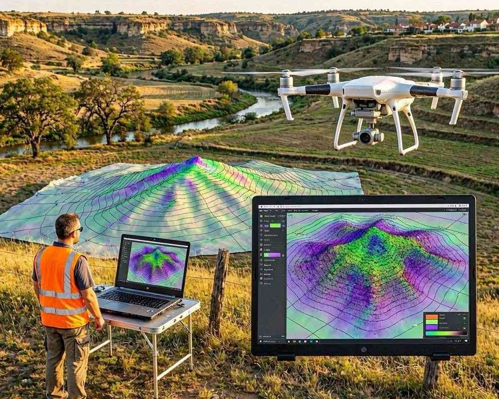
With ground points isolated, the workflow typically produces a DEM by interpolating elevations onto a regular grid or by generating a triangulated surface. The surveyor then verifies DEM resolution against project requirements—too coarse may smooth critical changes; too fine may exaggerate noise. For grading design, drainage analysis, or volumetrics, maintaining an appropriate grid size is essential.
Quality checks and accuracy validation
Professional digital surveyors treat validation as a non-negotiable step. Common checks include:
- Comparing model elevations at independent checkpoints not used for processing
- Inspecting point cloud density and gaps, especially near steep slopes and shadowed areas
- Assessing artifacts caused by motion blur, poor texture, or moving objects
- Reviewing vertical accuracy statistics and outlier behavior
Practical outputs: what relief measurements enable
Once the DEM is reliable, the surveyor can extract meaningful terrain relief information for real decisions. Different stakeholders need different representations, but they all start from the same elevation foundation.
Contour lines, slopes, and profiles
From the DEM, surveyors generate contour maps for visualization and planning. They may also compute slope rasters to highlight steep areas or erosion-prone zones. For engineering, profiles along specific alignments help verify gradients and design constraints.
Volumetric computations and earthworks planning
Terrain relief measurements are central to estimating cut-and-fill volumes. By comparing an existing DEM with a proposed surface model, the surveyor quantifies earthmoving requirements and supports cost and schedule forecasting. Accurate relief is the difference between a workable estimate and a costly deviation in the field.
Best practices for consistent, measurable relief
To achieve repeatable results across projects, digital surveyors follow practical standards. The best outcomes typically come from combining disciplined field capture with disciplined processing and validation.
- Plan for sufficient overlap and image quality to minimize reconstruction gaps.
- Use well-distributed ground control points for strong georeferencing.
- Perform ground filtering when bare-earth representation is required.
- Validate against independent checkpoints before delivering results.
- Document processing parameters to ensure auditability and repeatability.
By treating drone footage as measurable evidence—not just a visual survey—the digital surveyor converts aerial imagery into reliable terrain relief. The result is a high-accuracy elevation model that supports engineering design, environmental assessment, and effective decision-making across complex landscapes.