
In recent years, there has been a significant advancement in the field of Artificial Intelligence (AI) and Augmented Reality (AR). These technologies have become increasingly popular and have the potential to enhance virtual experiences in various fields such as gaming, education, healthcare, and...
A Digital Tracker Reconstructs the Routes of Historical Expeditions
113
21.05.2026

Why historical expedition routes are often lost
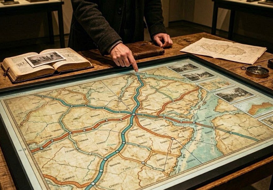
Many early exploration journeys were documented incompletely or inconsistently. Explorers relied on handwritten logs, sketches, and verbal accounts, which often lacked precise coordinates or were later damaged or lost.
Over time, shifting landscapes, renamed locations, and inaccurate mapping methods further obscured the exact paths taken by expeditions.
As a result, historians and geographers frequently face gaps when attempting to reconstruct historical movement routes.
What a digital tracker does
A digital tracker is an AI-powered geospatial system designed to reconstruct probable routes of historical expeditions by combining fragmented historical evidence with modern mapping technologies.
Instead of relying on a single source, it synthesizes multiple data layers to build a coherent and scientifically grounded reconstruction.
Main data sources used by the system
- Expedition diaries and journals
- Historical maps and sketches
- Archaeological findings along suspected routes
- Terrain and environmental data
- Climate records from the relevant time period
How route reconstruction works
The system begins by extracting all known reference points from historical documents, such as settlements, rivers, mountain passes, or coastal landmarks mentioned in expedition records.
It then maps these points onto modern geospatial data and uses probabilistic modeling to infer the most likely paths between them.
Stages of reconstruction
- Digitization of historical sources
- Extraction of geographic references
- Alignment with modern maps
- Terrain-based route modeling
- Probability scoring of alternative paths
Role of artificial intelligence in mapping
AI plays a crucial role in resolving ambiguities where historical descriptions are vague or contradictory. It evaluates multiple route possibilities and assigns likelihood scores based on terrain difficulty, travel speed, and historical context.
The system also learns from known verified expeditions to improve its predictive accuracy.
Key factors considered by the algorithm
- Elevation and terrain slope
- River crossings and natural barriers
- Historical travel speed estimates
- Survival constraints such as water and food availability
- Seasonal weather conditions
Why digital reconstruction is more accurate than manual methods
Traditional historical reconstruction relies heavily on expert interpretation, which can vary significantly between researchers. Digital tracking systems introduce consistency by applying the same analytical framework to all data sources.
This reduces subjective bias and allows for reproducible results that can be tested and refined over time.
Applications of reconstructed expedition routes
Key uses
- Historical and archaeological research
- Educational visualization of exploration history
- Tourism development of heritage routes
- Environmental studies of historical land use
Limitations of the technology
Despite advanced modeling, reconstructed routes remain probabilistic rather than definitive. Missing or biased historical records can still influence outcomes.
Additionally, environmental conditions may have changed significantly since the time of the expedition, complicating direct comparisons.
Future of digital historical geography
Future systems may integrate satellite imagery, AI-generated simulations, and immersive virtual environments to allow users to “retrace” expeditions in interactive 3D reconstructions.
Conclusion
Digital trackers are transforming historical geography by turning fragmented expedition records into coherent spatial narratives, offering new insight into how explorers moved through the world.