

In recent years, there has been a significant advancement in the field of Artificial Intelligence (AI) and Augmented Reality (AR). These technologies have become increasingly popular and have the potential to enhance virtual experiences in various fields such as gaming, education, healthcare, and...
A Neural Network Classifies Soil Types from Satellite Imagery for Agronomists
2
10.10.2026
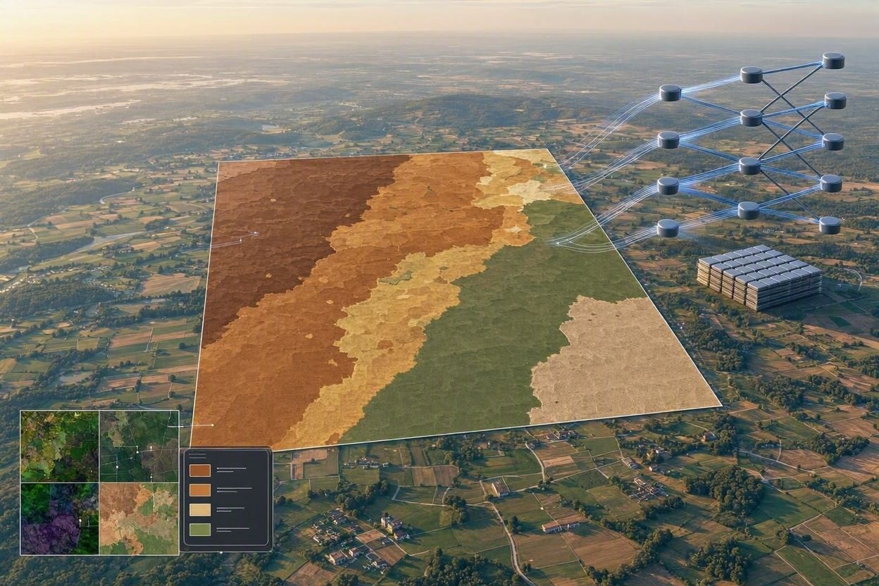
Accurate soil classification is one of the foundations of profitable and sustainable agriculture. Texture, organic matter, salinity, drainage, and mineral composition influence nearly every field decision, from crop selection to fertilizer rates. Traditionally, agronomists have relied on soil surveys, laboratory tests, and field scouting. These methods remain essential, but they are expensive, time-consuming, and often too sparse to capture variation within large or fragmented farms. Neural networks trained on satellite imagery are changing this workflow by turning remote sensing data into practical soil intelligence.
Why Satellite-Based Soil Classification Matters
Soils can vary significantly over short distances. A single field may contain sandy ridges, clay-rich depressions, compacted zones, and areas affected by erosion. When these differences are ignored, growers may overapply inputs in some zones and underapply them in others. Satellite imagery offers repeated, wide-area observations that help agronomists detect patterns invisible from the ground. When combined with machine learning, these images can support faster mapping of soil classes and management zones.
From Static Soil Maps to Dynamic Field Insight
Conventional soil maps are valuable, but they may be outdated or too coarse for precision agriculture. A neural network can analyze recent imagery from sources such as Sentinel-2, Landsat, commercial optical satellites, and radar platforms. It can identify spectral and spatial signals associated with bare soil, crop stress, moisture retention, drainage behavior, and surface texture. The result is not a replacement for field expertise, but a decision-support layer that helps agronomists target sampling and interpret field variability more efficiently.
How the Neural Network Works
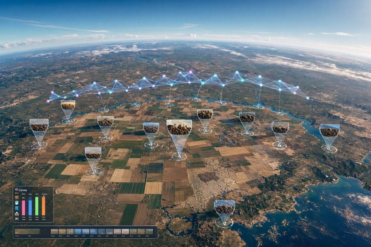
The model begins with training data. Agronomists and soil scientists provide ground-truth samples that include GPS coordinates and verified soil classifications. These samples are matched with satellite pixels or image patches collected under suitable conditions, especially when the soil is bare or crop cover is minimal. The neural network learns the relationship between image features and known soil types.
Key Data Inputs
Modern systems rarely depend on a single image. They often combine multiple layers to improve accuracy and reduce uncertainty. Useful inputs may include:
- Multispectral bands that capture visible, near-infrared, and shortwave infrared reflectance.
- Vegetation indices that reveal crop response to underlying soil limitations.
- Moisture-related indicators derived from radar or optical imagery.
- Digital elevation models that show slope, drainage pathways, and depressions.
- Historical yield maps, field boundaries, and previous laboratory soil results.
Model Architecture and Classification
Convolutional neural networks are commonly used because they can recognize spatial patterns in imagery. In more advanced systems, transformer-based models or hybrid architectures combine spectral, temporal, and topographic information. The model may classify soils into broad texture groups, such as sandy, loamy, silty, and clayey, or into local soil series when sufficient training data exists. Some platforms also estimate probabilities, allowing agronomists to see where the classification is reliable and where additional sampling is needed.
Benefits for Agronomists and Farmers
The main value of neural soil classification is practical field management. Instead of treating a field as uniform, agronomists can create soil-based zones and refine recommendations. This improves both economic and environmental outcomes.
- Better soil sampling: Samples can be placed in representative zones rather than selected randomly.
- Improved fertilizer planning: Nutrient programs can reflect different cation exchange capacity, organic matter, and leaching risk.
- Smarter irrigation: Water schedules can be adjusted for soil water-holding capacity and drainage behavior.
- Crop and variety selection: Soil maps help match crops and hybrids to field conditions.
- Risk management: Areas prone to compaction, salinity, drought stress, or waterlogging can be identified earlier.
Accuracy, Validation, and Limitations
A neural network is only as strong as its training and validation process. High-quality ground samples are essential, and local calibration usually improves performance. Soil reflectance can be affected by crop residue, moisture, tillage, shadows, and vegetation cover. Cloud contamination and inconsistent image timing can also reduce reliability. For this reason, responsible systems include confidence scores and are validated against independent soil samples before recommendations are made.
Human Expertise Remains Essential
Agronomists should treat neural classification as an analytical tool, not an automatic verdict. The best results occur when machine-generated maps are reviewed alongside field knowledge, yield history, scouting notes, and laboratory analysis. If the model highlights an unexpected soil boundary, it should trigger investigation rather than blind acceptance. This collaboration between AI and agronomy is what turns raw data into useful recommendations.
Building a Practical Workflow
An effective deployment starts with clear objectives. A farm may need broad soil texture mapping, salinity screening, drainage assessment, or variable-rate zone creation. After defining the goal, agronomists collect representative soil samples, acquire satellite data from relevant dates, train or apply a calibrated model, and compare outputs with known field performance. The final map should be simple enough for operational use in farm management software, machinery guidance systems, and advisory reports.
The Future of AI-Driven Soil Intelligence
As satellite resolution improves and ground datasets grow, neural networks will classify soil properties with greater precision. The most powerful systems will integrate satellite imagery, proximal sensors, weather records, yield data, and soil laboratory results into continuously updated field models. For agronomists, this means faster diagnosis, better recommendations, and more resilient production systems. Neural soil classification will not eliminate soil science; it will make expert knowledge more scalable, timely, and actionable across every hectare.