
In recent years, there has been a significant advancement in the field of Artificial Intelligence (AI) and Augmented Reality (AR). These technologies have become increasingly popular and have the potential to enhance virtual experiences in various fields such as gaming, education, healthcare, and...
A Program Automatically Generates Road Condition Assessment Reports
10
29.10.2026
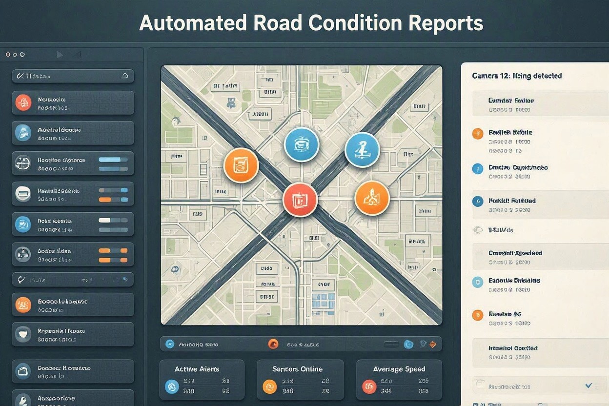
Modern road networks are too large and dynamic to be evaluated efficiently with manual inspections alone. Municipalities, transport agencies, contractors, and infrastructure operators increasingly rely on software that automatically generates road condition assessment reports. These programs combine field data, geospatial mapping, image recognition, sensor readings, and predefined engineering rules to turn raw observations into structured, actionable documents.
The purpose is not simply to replace paperwork. Automated reporting improves consistency, reduces inspection delays, supports transparent maintenance planning, and helps decision-makers allocate budgets based on measurable pavement conditions rather than assumptions.
How Automated Road Assessment Software Works
An automated reporting program gathers data from multiple sources, processes it through analytical models, and produces a report that classifies defects, estimates severity, and recommends maintenance priorities. Depending on the system, data may come from survey vehicles, smartphones, drones, satellite imagery, fixed roadside sensors, or maintenance crews using mobile applications.
Data Collection from the Field
Field data is the foundation of every reliable road condition assessment. Cameras capture pavement images, accelerometers measure vehicle vibration, GPS modules record exact locations, and laser or LiDAR systems detect rutting, cracking, surface deformation, and profile irregularities. In more advanced setups, weather records and traffic load data are also included to explain why certain segments deteriorate faster than others.
Once collected, the information is uploaded to a centralized platform. The software aligns each observation with a specific road segment, lane, chainage, or map coordinate. This georeferencing step is essential because maintenance teams need to know not only what damage exists, but exactly where it is located.
AI-Based Defect Detection
Many programs use computer vision to identify visible pavement defects. Algorithms can detect potholes, longitudinal cracks, transverse cracks, alligator cracking, edge failures, patch deterioration, bleeding, and surface raveling. The system then assigns severity levels based on size, density, depth, or affected area.
Machine learning models improve over time when trained with verified inspection data. However, professional systems usually include quality control tools, allowing engineers to review images, correct classifications, and validate unusual findings before the final report is issued.
What the Report Typically Includes
A complete road condition assessment report should be understandable for both technical and non-technical stakeholders. It translates complex inspection data into clear conclusions that support maintenance decisions, procurement planning, and long-term asset management.
- Inventory of inspected road sections and survey dates
- Maps showing defect locations and affected segments
- Photos or image extracts linked to specific coordinates
- Condition ratings such as PCI, roughness, rut depth, or custom scores
- Severity classification for each identified defect
- Recommended interventions, from sealing to resurfacing or reconstruction
- Priority ranking based on safety, traffic volume, deterioration risk, and cost
- Summary tables for management, budgeting, and compliance reporting

Key Benefits for Road Authorities and Contractors
Faster and More Consistent Reporting
Manual reporting can take days or weeks, especially when inspectors must review photos, enter defects into spreadsheets, and prepare maps separately. Automated software can generate standardized reports shortly after the survey is completed. This speed is valuable after storms, freeze-thaw events, flooding, or heavy construction traffic, when rapid decisions are required.
Consistency is another major advantage. Different inspectors may interpret the same pavement defect differently. A well-configured program applies the same scoring logic across the entire network, making year-to-year comparisons more reliable.
Better Budget Allocation
Infrastructure budgets are often limited, so agencies must justify why one road segment is repaired before another. Automated reports provide objective evidence for prioritization. Instead of responding only to complaints or visible failures, decision-makers can identify early-stage deterioration and apply lower-cost preventive treatments before full rehabilitation becomes necessary.
Important Features to Look For
Not every automated reporting tool offers the same level of accuracy or usability. Organizations selecting a system should consider both technical performance and practical workflow needs.
- Accurate geolocation: Reports must link each defect to a precise road position.
- Configurable rating methods: The software should support local standards, agency rules, or international pavement indices.
- Human review options: Engineers should be able to verify and adjust automated findings.
- GIS integration: Exporting results to mapping and asset management systems is essential.
- Clear report templates: Outputs should be suitable for executives, engineers, auditors, and field crews.
- Historical comparison: The system should track deterioration trends over multiple survey cycles.
Challenges and Best Practices
Automated road condition reporting is powerful, but it still depends on good data and thoughtful implementation. Poor camera calibration, inconsistent survey speeds, obstructed pavement views, outdated base maps, or insufficient model training can reduce accuracy. Agencies should define inspection protocols, maintain equipment, and periodically compare automated results with manual validation samples.
It is also important to treat automated reports as decision-support tools, not as isolated final judgments. Engineers, maintenance planners, and local field staff bring contextual knowledge that software may not capture, such as recurring drainage problems, utility cuts, planned developments, or political commitments.
The Future of Road Condition Reporting
As sensor costs fall and AI models become more precise, automated road assessment will become a standard part of infrastructure management. Future systems will likely combine real-time vehicle data, predictive deterioration models, climate risk analysis, and cost optimization. Instead of reporting only the current condition of a road, programs will forecast when and where defects are likely to become critical.
A program that automatically generates road condition assessment reports gives road owners a clearer, faster, and more defensible view of their assets. When implemented with sound engineering oversight, it helps extend pavement life, improve safety, and use maintenance budgets where they deliver the greatest value.