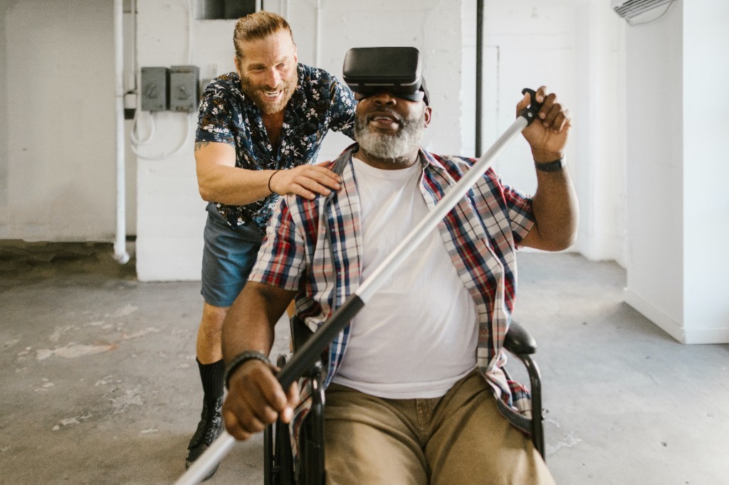
In recent years, there has been a significant advancement in the field of Artificial Intelligence (AI) and Augmented Reality (AR). These technologies have become increasingly popular and have the potential to enhance virtual experiences in various fields such as gaming, education, healthcare, and...
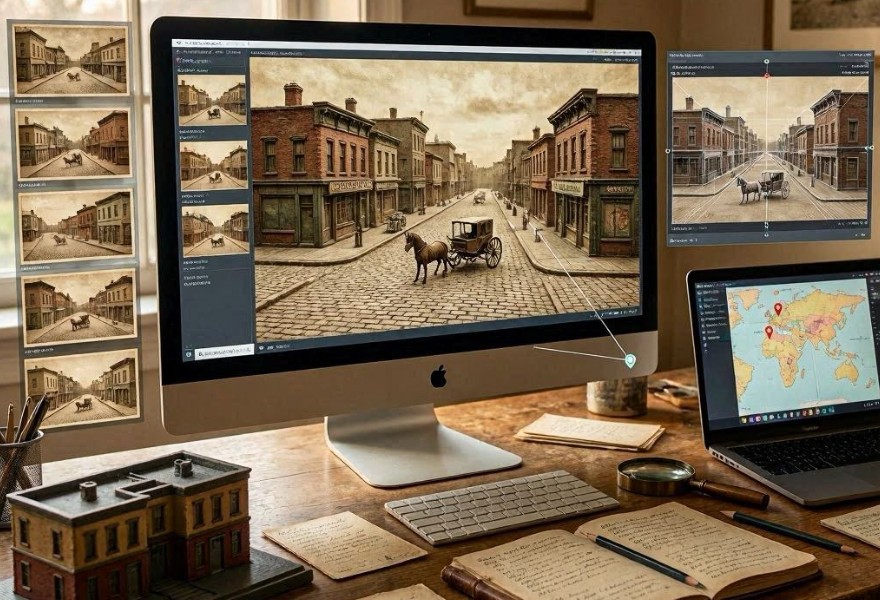
A Program Creates 3D Models of Cities from Historical Postcards
74
07.06.2026
Why historical postcards are valuable for urban reconstruction
Historical postcards often capture city streets, landmarks, and architectural details that may no longer exist today. Unlike formal maps, they provide visually rich, ground-level perspectives of urban life in specific time periods.
However, postcards typically show only a single viewpoint and may include artistic enhancements or distortions, making full reconstruction challenging.
Despite these limitations, they remain a useful source for understanding how cities once looked.
How the system interprets postcards
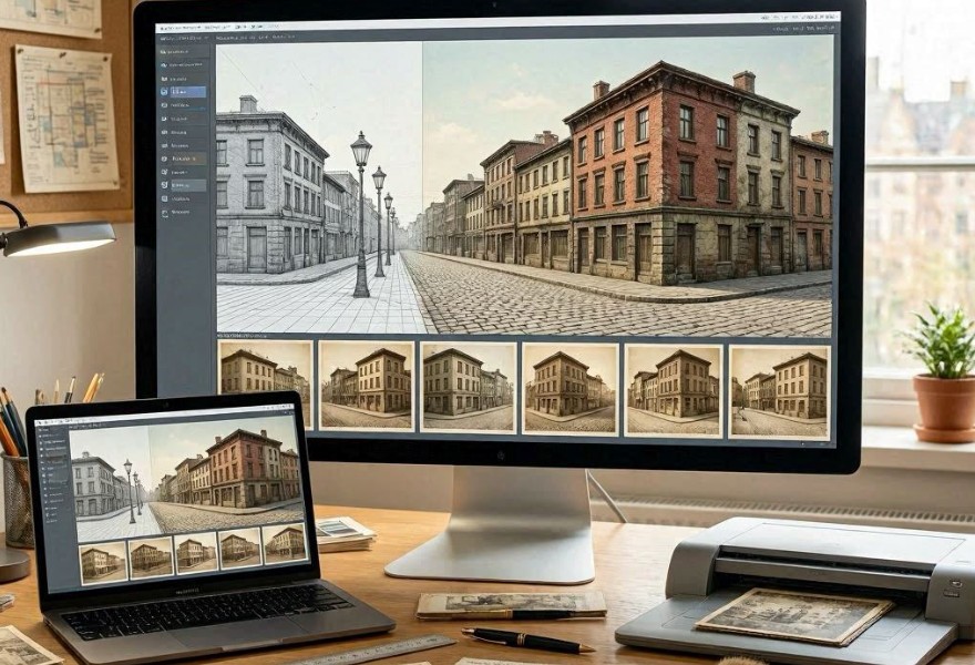
The program uses computer vision techniques to extract architectural and spatial information from scanned postcards. It identifies buildings, roads, and environmental elements and converts them into structured spatial data.
Each postcard becomes a partial “snapshot” of the historical city layout.
Key visual inputs
- Building facades and architectural styles
- Street layouts and intersections
- Landmarks such as monuments and bridges
- Perspective and camera angle estimation
How 3D reconstruction works
The system combines multiple postcards from different angles and time periods to reconstruct a consistent three-dimensional model of the city.
It uses geometric inference to estimate depth, scale, and spatial relationships between visible structures.
Reconstruction workflow
- Digitization of historical postcards
- Object detection and segmentation
- Camera perspective estimation
- Depth reconstruction and alignment
- 3D mesh generation of urban space
Role of artificial intelligence in reconstruction
Machine learning models help fill in missing spatial information where visual data is incomplete. By learning from modern urban datasets and historical architectural styles, the system predicts how unseen parts of buildings or streets may have looked.
This allows the creation of continuous 3D environments rather than fragmented scenes.
Challenges in using postcards as data sources
Postcards often contain artistic modifications, selective framing, and inconsistent scaling. These factors can introduce distortions that must be corrected during reconstruction.
Lighting conditions, printing quality, and aging of materials can also affect image clarity.
Main challenges
- Perspective distortion from single viewpoints
- Incomplete spatial coverage of city areas
- Artistic embellishments in postcard design
- Degraded or low-resolution imagery
Applications of reconstructed 3D cities
Main uses
- Digital preservation of historical urban environments
- Virtual tourism and educational simulations
- Urban planning research and comparison studies
- Restoration of culturally significant districts
Why AI improves historical reconstruction
Traditional reconstruction relies heavily on manual interpretation of maps and photographs. AI systems can process large collections of postcards simultaneously, identifying patterns and spatial relationships that would be difficult to analyze manually.
This enables more comprehensive and data-driven reconstructions of historical cities.
Limitations of the approach
Despite advances in modeling, reconstructed environments remain approximations. Missing viewpoints and uncertain architectural details can introduce inaccuracies.
Historical interpretation still plays a critical role in validating the final 3D models.
Future of digital urban archaeology
Future systems may integrate satellite data, archaeological records, and generative simulation to create fully interactive historical city environments that users can explore in virtual reality.
Conclusion
AI-powered reconstruction from historical postcards transforms fragmented visual archives into immersive 3D urban models, preserving the memory of cities that have changed or disappeared over time.