
In recent years, there has been a significant advancement in the field of Artificial Intelligence (AI) and Augmented Reality (AR). These technologies have become increasingly popular and have the potential to enhance virtual experiences in various fields such as gaming, education, healthcare, and...
AI Created a Map of All Ant Nests in a City Park
368
12.04.2026
Studying Insects in Urban Ecosystems
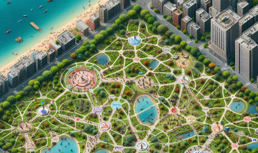
Urban parks are often seen as small islands of nature inside large cities. While people visit them for recreation, these green spaces also serve as important habitats for many species of plants and animals. Among the most widespread and influential inhabitants of these ecosystems are ants. Despite their small size, ants play a major role in soil health, plant growth, and the balance of local ecosystems.
Studying ant populations in large areas can be extremely difficult. Ant nests are often hidden under soil, leaves, or small stones, making them hard to detect during traditional field surveys. Researchers usually have to spend long hours manually searching for nests and marking their locations on maps.
Recent advances in artificial intelligence have introduced a new approach to studying insect populations. Using computer vision and machine learning algorithms, scientists have successfully created a detailed digital map of all ant nests located in a city park.
How Artificial Intelligence Identifies Ant Nests
The AI system used in this project analyzes high-resolution images of the park environment. These images can be captured by drones, mobile cameras, or ground-based scanning equipment. Once the visual data is collected, the algorithm examines the images to detect visual patterns associated with ant colonies.
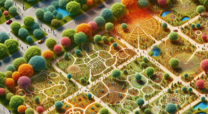
Ant nests often have subtle physical characteristics that can be identified by trained algorithms. For example, they may appear as small soil mounds, clusters of holes in the ground, or areas with specific patterns of insect movement.
Features Detected by the AI System
- Small soil mounds created by ant excavation
- Clusters of entry holes in the ground
- Trails formed by moving ants
- Distinct soil textures around nest entrances
- Repeated insect activity in specific areas
By learning from thousands of labeled images, the machine learning model becomes capable of recognizing these patterns automatically.
Creating a Digital Map of the Park
Once the AI system identifies potential ant nests in images, their geographic coordinates are recorded and added to a digital map. Geographic information systems (GIS) are then used to visualize the locations of colonies across the entire park.
This digital mapping approach provides researchers with a detailed overview of ant colony distribution. Instead of manually marking nests on paper maps, scientists can view the entire network of colonies within seconds.
Steps in the Mapping Process
- Collect aerial and ground-level images of the park
- Process images using computer vision algorithms
- Identify potential ant nests in the data
- Assign geographic coordinates to each detected nest
- Generate a visual map using GIS software
The resulting map shows not only where ant nests are located but also how densely they are distributed across different parts of the park.
What Scientists Learn from Ant Nest Maps
Mapping ant colonies provides valuable insights into the structure of urban ecosystems. Ants influence soil aeration, nutrient cycling, and seed dispersal. Understanding where colonies are located helps researchers analyze how these insects affect plant growth and soil quality.
The digital map also allows scientists to study how ants respond to environmental factors within the park. For example, colony distribution may be influenced by sunlight exposure, soil moisture, vegetation density, or human activity.
By analyzing these patterns, researchers can better understand how urban ecosystems function and how they can be protected.
Advantages of Using Artificial Intelligence
Artificial intelligence offers several advantages compared with traditional ecological surveys. Manual field research is time-consuming and often limited to small study areas. AI systems, on the other hand, can analyze thousands of images quickly and cover large territories.
- Faster identification of insect colonies
- More accurate mapping of nest locations
- Ability to monitor changes over time
- Reduced manual labor for researchers
- Better understanding of ecosystem patterns
Because the system can be used repeatedly, scientists can track how ant populations change across seasons or in response to environmental changes.
The Future of AI in Ecology
The use of artificial intelligence in ecological research is expanding rapidly. In addition to studying ants, AI systems are being used to monitor bird populations, track animal migration, and identify plant species from satellite images.
Future ecological monitoring systems may combine drone technology, automated sensors, and machine learning algorithms to create real-time maps of entire ecosystems. Such systems could provide scientists with continuous updates about wildlife activity, environmental changes, and biodiversity levels.
Projects like the mapping of ant nests in a city park demonstrate how modern technology can reveal hidden patterns in nature. By combining artificial intelligence with ecological research, scientists are gaining new tools to better understand and protect the natural environments that exist even within urban landscapes.