

In recent years, there has been a significant advancement in the field of Artificial Intelligence (AI) and Augmented Reality (AR). These technologies have become increasingly popular and have the potential to enhance virtual experiences in various fields such as gaming, education, healthcare, and...
An Algorithm Helps Ecologists Count Bear Populations Using Drones
167
22.06.2026
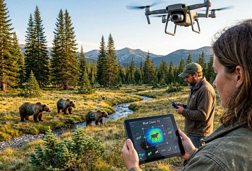
For decades, the standard methods for counting wild bear populations have been as perilous as they are imprecise. Traditionally, ecologists have relied on labor-intensive techniques: capture-mark-recapture, hair snares for DNA analysis, or simply flying manned light aircraft over vast, rugged wilderness. These methods are not only expensive and logistically daunting but often stress the animals and carry significant safety risks for the researchers involved. Furthermore, in dense forests or remote mountainous terrain, a significant number of bears inevitably go undetected, leading to unreliable population data that complicates conservation efforts.
A technological revolution is currently unfolding in the field of wildlife biology. By combining high-end drone (Unmanned Aerial Vehicle) platforms with sophisticated computer vision algorithms, ecologists are now able to conduct rapid, non-invasive population surveys. This integration of aerial robotics and artificial intelligence is providing a level of precision and scale that was previously deemed impossible.
The Shift to Aerial Thermal Surveys
The primary challenge in counting bears is their camouflage; their fur blends seamlessly into the forest floor, and they are often protected by dense canopy cover. To overcome this, ecologists have transitioned to using thermal imaging sensors mounted on drones.
The Power of Thermal Imagery
Bears, being large endothermic mammals, emit a distinct thermal signature that stands out starkly against the cooler background of the forest floor, soil, or snow. Drones equipped with radiometric thermal cameras can fly in a grid pattern over vast landscapes, capturing high-resolution infrared data. Unlike standard optical cameras, thermal sensors are highly effective during dawn, dusk, or even at night—times when many bear species are most active.
The Role of the AI Algorithm
Capturing raw thermal data is only the first step. A single mission can generate thousands of images, which would take human researchers weeks to analyze manually. This is where the artificial intelligence algorithm takes center stage.
Deep Learning and Object Detection
Researchers utilize Convolutional Neural Networks (CNNs) to process the thermal imagery. The algorithm is trained on thousands of hours of drone footage, learning to distinguish the heat signature of a bear from other heat-emitting objects such as deer, elk, or even hot rocks and sun-warmed stumps. The training process involves:
- Feature Extraction: Teaching the model the specific size, shape, and thermal intensity characteristics unique to various bear species.
- Contextual Awareness: Helping the AI understand the environment so that it doesn't flag warm patches of ground or water as potential animals.
- Automated Classification: The algorithm categorizes signatures as "high-confidence bear," "potential bear," or "false positive."
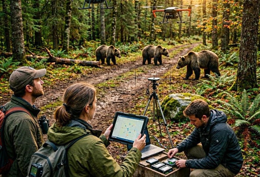
Efficiency and Accuracy
Once trained, the algorithm can process hours of footage in minutes. It doesn't get tired, it doesn't suffer from eye fatigue, and it maintains a consistent level of scrutiny throughout an entire survey area. If the AI detects a signature, it flags the exact GPS coordinate of the bear, allowing ecologists to verify the sighting and update the population census map in near real-time.
Conservation Impacts and Future Prospects
The transition to drone-assisted, AI-driven counts has profound implications for wildlife management. By removing the need for physical proximity, researchers can conduct surveys with virtually zero impact on the animals' natural behavior. This is crucial for populations that are sensitive to human presence or are located in protected habitats where vehicle or foot traffic is discouraged.
Data-Driven Management
With more accurate numbers, conservationists can make informed decisions regarding habitat protection, hunting quotas, and human-bear conflict mitigation. For instance, if an algorithm identifies that a population is fragmented due to urban expansion, policymakers can prioritize the construction of wildlife corridors to ensure genetic diversity.
Overcoming Challenges
Despite the success of these programs, there are hurdles. Dense, triple-canopy forests can block thermal signatures, necessitating the use of advanced flight strategies or sensors that can "see" through small gaps in the trees. Additionally, the algorithms must be continually updated to account for seasonal variations—a bear’s thermal signature will look different in the heat of summer versus the cold of late autumn.
Conclusion
The integration of drones and AI algorithms is a landmark achievement in modern ecology. By replacing dangerous, error-prone manual counts with automated aerial intelligence, we are gaining a clearer window into the lives of one of nature’s most elusive predators. As these tools become more accessible and the algorithms more refined, we are better positioned than ever to ensure the long-term survival of bear populations in an rapidly changing world.