
In recent years, there has been a significant advancement in the field of Artificial Intelligence (AI) and Augmented Reality (AR). These technologies have become increasingly popular and have the potential to enhance virtual experiences in various fields such as gaming, education, healthcare, and...
An Algorithm Identifies Dangerous Sections of Mountain Trails via Satellite
133
01.05.2026
Mountain trails offer breathtaking views and challenging adventures, but they also present significant risks. Unstable terrain, steep inclines, and unpredictable weather can turn a scenic hike into a dangerous situation. A new algorithm is addressing these risks by identifying hazardous sections of mountain trails using satellite imagery and advanced data analysis.
The Need for Improved Trail Safety
Accidents on mountain trails often occur due to poor visibility of risks. Hikers may not be aware of unstable slopes, erosion, or recent changes in terrain.
Traditional methods of assessing trail safety rely on manual inspections, which are time-consuming and limited in coverage.
Common Hazards
- Loose rocks and landslides
- Steep drop-offs
- Erosion and trail degradation
- Weather-related changes
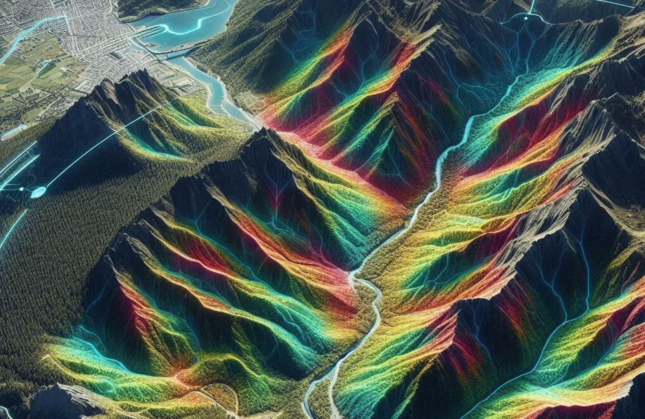
The Role of Satellite Data
Satellite imagery provides a comprehensive view of mountainous regions. High-resolution images capture terrain features that are difficult to observe from the ground.
The algorithm processes this data to detect patterns associated with dangerous conditions.
Data Sources
- Optical satellite imagery
- Elevation and topographic data
- Weather and climate information
How the Algorithm Works
The system uses machine learning models trained on historical data of trail incidents and terrain characteristics. It identifies features that correlate with higher risk levels.

Analysis Process
- Terrain classification
- Slope and gradient analysis
- Detection of erosion patterns
- Risk scoring of trail segments
Each section of a trail is assigned a risk score, which can be used to guide hikers and authorities.
Applications and Benefits
The algorithm has practical applications in outdoor safety and environmental management.
Key Uses
- Providing safety information to hikers
- Assisting rescue teams in risk assessment
- Supporting trail maintenance planning
By identifying dangerous areas in advance, the system helps prevent accidents and improves overall safety.
Challenges
Accurate risk assessment requires high-quality data and continuous updates. Rapid environmental changes can affect the reliability of predictions.
The Future of Satellite-Based Safety
Future developments may include real-time updates and integration with mobile navigation apps. Hikers could receive alerts about dangerous sections during their journey.
This technology represents a significant step toward safer exploration of natural environments.